A multidisciplinary team of seven researchers has developed the research stay Landscape, cultural heritage and depopulation, which consists of the development of school materials that allow secondary school students to work in the classroom on the relationship between depopulation and cultural heritage in the villages of Territorio Mudéjar. The aim is for students to acquire skills that enable them to understand and value this heritage and to be able to formulate models and proposals for rural development that will enable them to tackle depopulation.
The materials are available in open access so that they can be used by other educational centres, thus promoting knowledge of Mudejar heritage outside the towns that form part of the Mudejar Territory. They can be accessed at: https://paisaje-patrimonio-cultural-y-despoblacin-cmzgz.hub.arcgis.com/
These materials introduce the use of ICT in the classroom, with tools similar to those already in widespread use in the professional world, and provide students with a tool for geographical analysis to work on the curricular content of the subject of Geography. Moreover, they are an educational resource that favours methodological and didactic renewal and the teacher can adapt them to the characteristics of his or her group or to specific students. All this with an online accompaniment, support and training in the use and development of this application during the course.
The materials produced are presented on a website organised into sections. On the one hand, there are multimedia applications on a specific thematic content that have been developed with Story Map Cascade, a template that allows combining narrative text, maps, images and multimedia content. In each application there are interactive maps to work with different layers of information and with activities and instructions for students. In addition, there are field project viewers for planning, capturing, analysing and presenting different field projects on intangible heritage, natural heritage, cultural heritage and landscape types. Finally, short explanatory videos on interactive maps and their tools have been added.
This project for Secondary completes Territorio Mudéjar’s initiative for Primary Education called “Rural school as the beginning of the circle” with which we want to introduce the way of working with heritage into the curricula of rural schools. The aim is for pupils to learn about and value the heritage that surrounds them and thus reinforce their roots and identity in their territory.
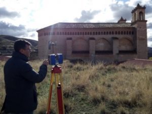
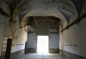
LINE OF RESEARCH (2) Mudejar Territory and cultural landscape
THE AUTHORS:
- Carlos Guallart Moreno, coordinator of the project, graduate in Geography and History, master’s degree in Territorial and Environmental Organisation, Santa María del Pilar school (Zaragoza).
- Noelia Cuartero Latorre, degree in Geography and Territorial Planning from the University of Zaragoza.
- María Felisa Ferraz Gracia, PhD in Information and Documentation, Colegio Sagrado Corazón de Jesús (Zaragoza).
- María Laguna Marín-Yaseli, PhD in Geography, Colegio El Salvador (Zaragoza).
- Alfredo Ollero Ojeda, PhD in Geography, Zaragoza University
- Beatriz Rodrigo Garza, BA in Art History and MA in Cultural Heritage Management, teacher at IES La Azucarera (Zaragoza).
- Javier Velilla Gil, graduate in Geography and History and high school teacher at IES El Portillo (Zaragoza).